So many earthquakes have struck a small county in west Texas that the area has had to declare a state of emergency. Roughly 100 earthquakes have rocked the area in under a week. Now, geologists are weighing in on what’s going on.
Although major damage hasn’t been identified yet, the sheer amount of shaking has weakened some structures and caused long-term issues in infrastructure.
Declaration of the Disaster
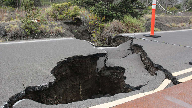
On Friday, Scurry County Judge Dan Hicks declared a disaster since the first registered earthquake that registered at a magnitude 4.9 on the richter scale.
The first geological activity was felt on the night of July 22 and Hicks says, “damage has been found throughout Scurry County in businesses and residences.”
The Effects of Multiple Earthquakes
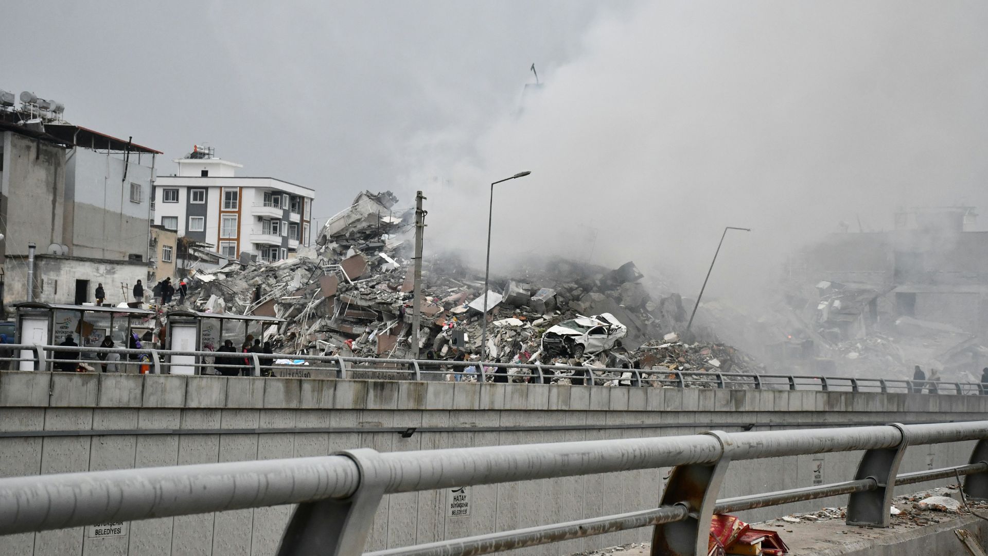
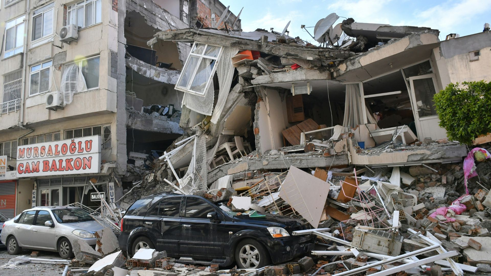
Although the buildings in any one area are made to withstand a few infrequent earthquakes, sustained shaking and prolonged activity can have a cumulative effect on tall and small buildings alike.
Hicks, who sits in a second-floor office at the Scurry County Courthouse, told the Abilene Reporter-News that workers in the building were alarmed by the 5.0 quake on Friday that hit at 9:28 a.m. local time. Reports show that trophies rattled inside display cases and pictures bounced against the walls.
103 Earthquakes in Eight Days
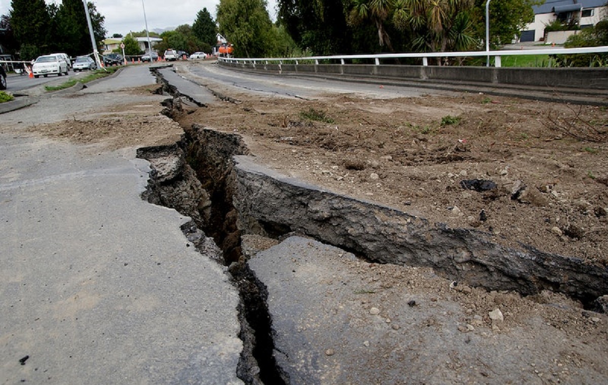
From the first large earthquake that was recorded in the county, the area has experienced 103 more quakes.
Out of the 103 earthquakes, 12 had a magnitude three or more, said Justin Rubinstein, a geophysicist with the U.S. Geological Survey in Menlo Park, California.
How Do They Measure an Earthquake?
The magnitude scale used to measure the size of an earthquake is often referred to as the richter scale.
The logarithmic scale means that each number on the scale is 10 times as strong as the one before it. For example, a 5.2 magnitude earthquake is quite moderate, while a 6.2 is incredibly strong and can cause widespread damage.
The Activity Is Not Naturally Occurring

In Texas, this amount of geological activity is very strange. Places like California have close by fault lines that send frequent seismic activity.
Instead of being naturally occurring, officials and geologists think that the quakes are “99% likely” to be linked to local oil fields.
Seismic Activity Linked to Oil Fields

Rubinstein notes that, “We can say with confidence that these are related to oil and gas extractions,” which are common in the nearby oil rich fields of Texas.
The trembling has been linked to newly forms of oil and gas drilling technology that allows companies to drill horizontally along an oil formation instead of just straight up and down.
Reaching Deeply Formed Oil Deposits

The new drilling technology is able to reach deep buried oil and natural gas deposits that were formed by decomposed remnants of plants and ancient oceans.
When oil comes up from these deep basins, it also brings salt water, which can be millions of years old. The salt was is called “produced water”, and there is a lot to deal with.
The Issue of Disposing the Ancient Salt Water
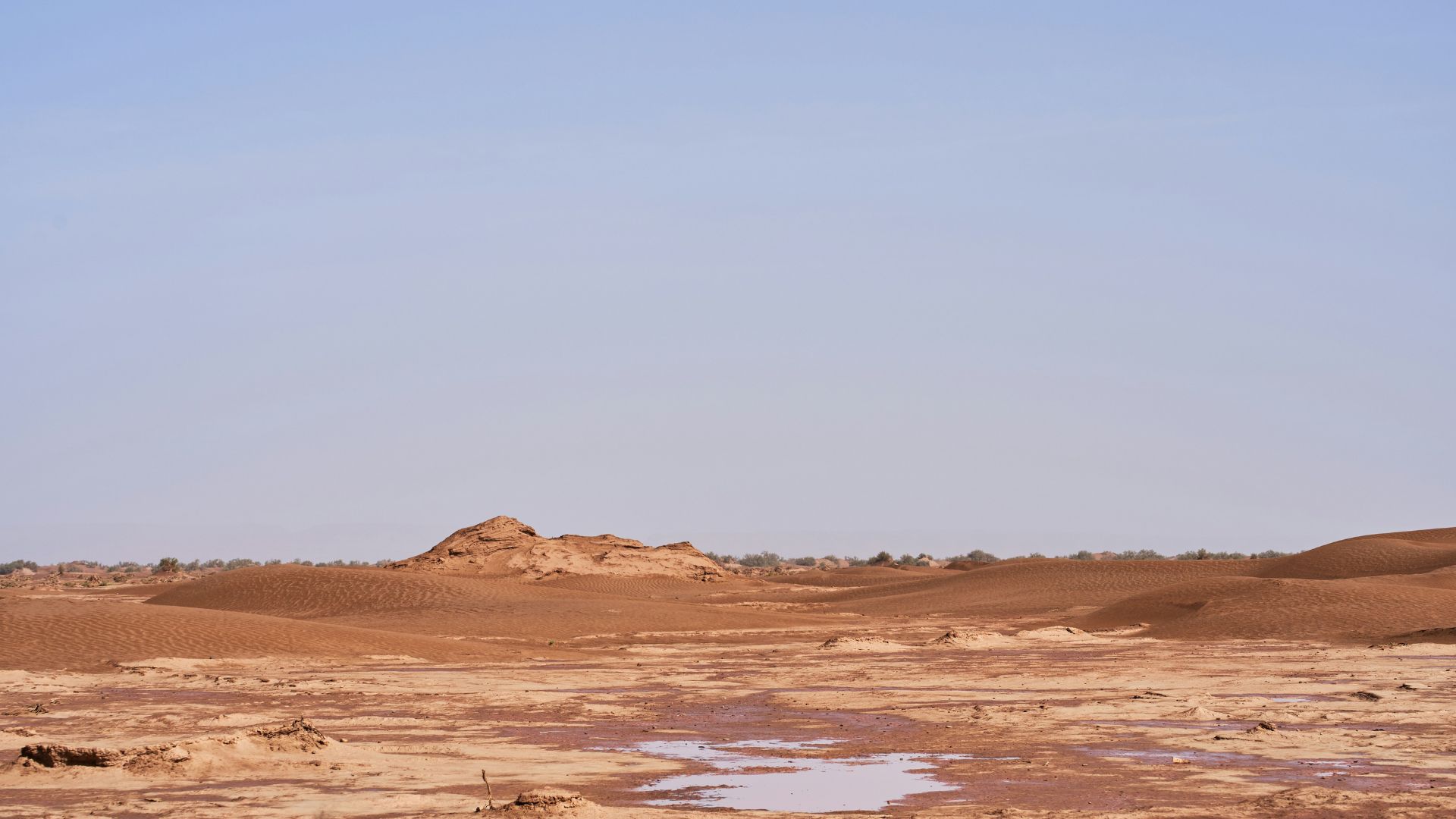
One of the many issues with deep drilling is that the prehistoric water drug up from underground is much saltier than the ocean. When it has been sitting underground for millions of years it has also been mixing with contaminants, making it a waste product that can’t just be added to oceans or rivers.
Instead, the water has to be pumped back underground through a process called saltwater disposal.
How the Drilling Creates Earthquakes

The large amounts of water that need to be pumped back underground can easily cause earthquakes for nearby communities.
“We’ve found evidence that saltwater disposal is the most likely cause of the earthquakes in Scurry County. This specific area has seen seismic activity going back to 2020,” Rubinstein said.
Texas Is Investigating the Cause

The Railroad Commission (RRC) of Texas regulates the state’s oil and natural gas industry. On Friday, the commission announced that it was looking into the tremors and injection of fluids into the ground for the extraction of petroleum products.
They released the following statement, “In efforts to reduce seismicity possibly caused by underground injection of produced water, several operators in the area have converted deep saltwater disposal wells to shallow saltwater disposal wells within the last year.”
The Group Is Monitoring Activity

For now, the RRC will continue to inspect the wells nearby to see the exact cause of the seismic activity.
“Staff will continue to monitor wells and seismicity data to mitigate earthquakes and protect the environment and residents in the region,” the statement said. Without resolving the source of the earthquakes, the county is expected to keep feeling the activity.


