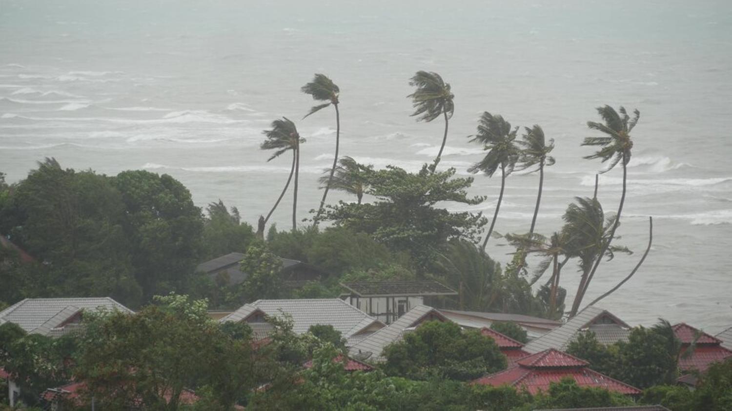
What Is a Hurricane?
A hurricane is a type of storm called a tropical cyclone; it forms over warm tropical or subtropical waters.
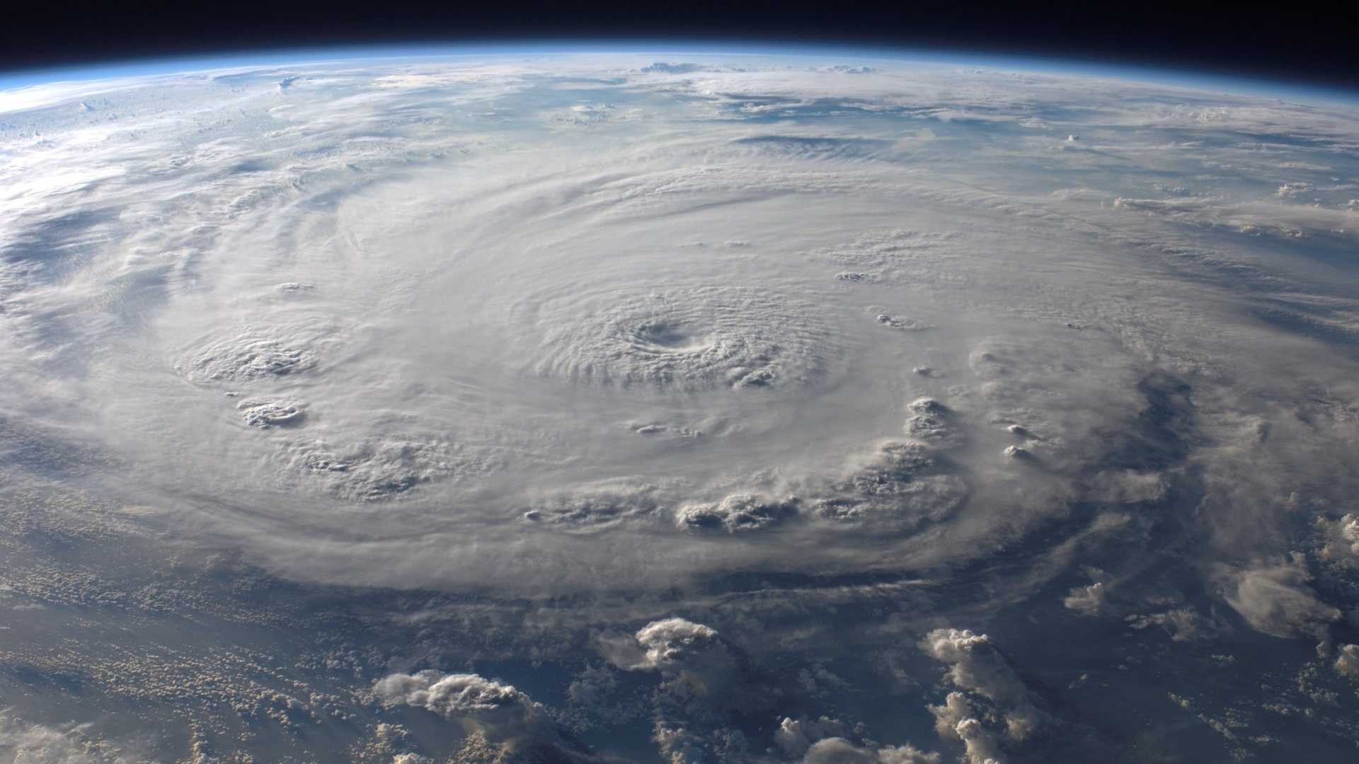
Pixabay/Pexels
The Gulf of Mexico is a prime area where storms develop through the warm Carribean waters. By the time they move further north to Florida or Louisiana, the storms can intensify by picking up momentum and more water. Then, when the storm hits the coastline, the water and winds begin to lose momentum as the storm moves further inland. This means that coastlines are most susceptible to these types of storms.
Tropical Storm Francine
The center shared early Tuesday that Tropical Storm Francine “is anticipated to be just offshore of the coasts of northeastern Mexico and southern Texas through today.”
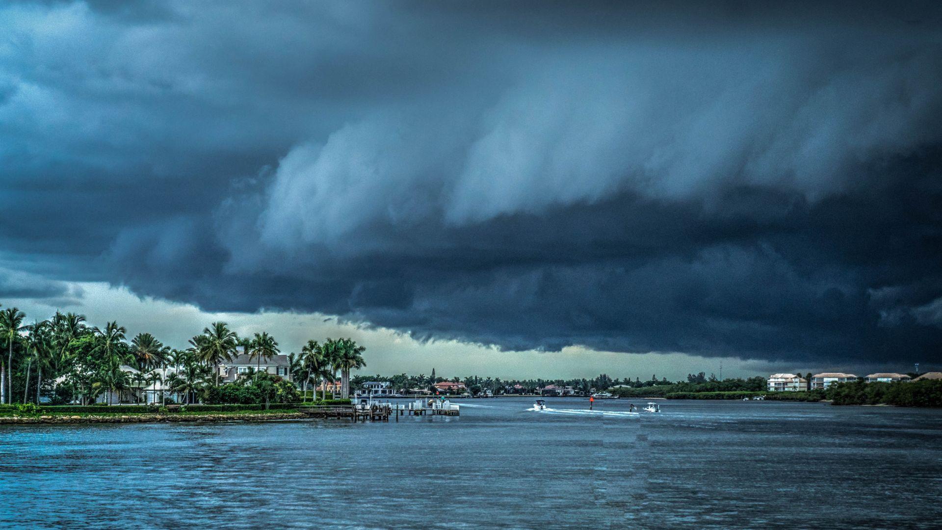
Source: Michelle_Maria/Pixabay
The storm will then “make landfall in Louisiana on Wednesday. Francine will likely become a hurricane today, with significant strengthening expected before it reaches the coast.”
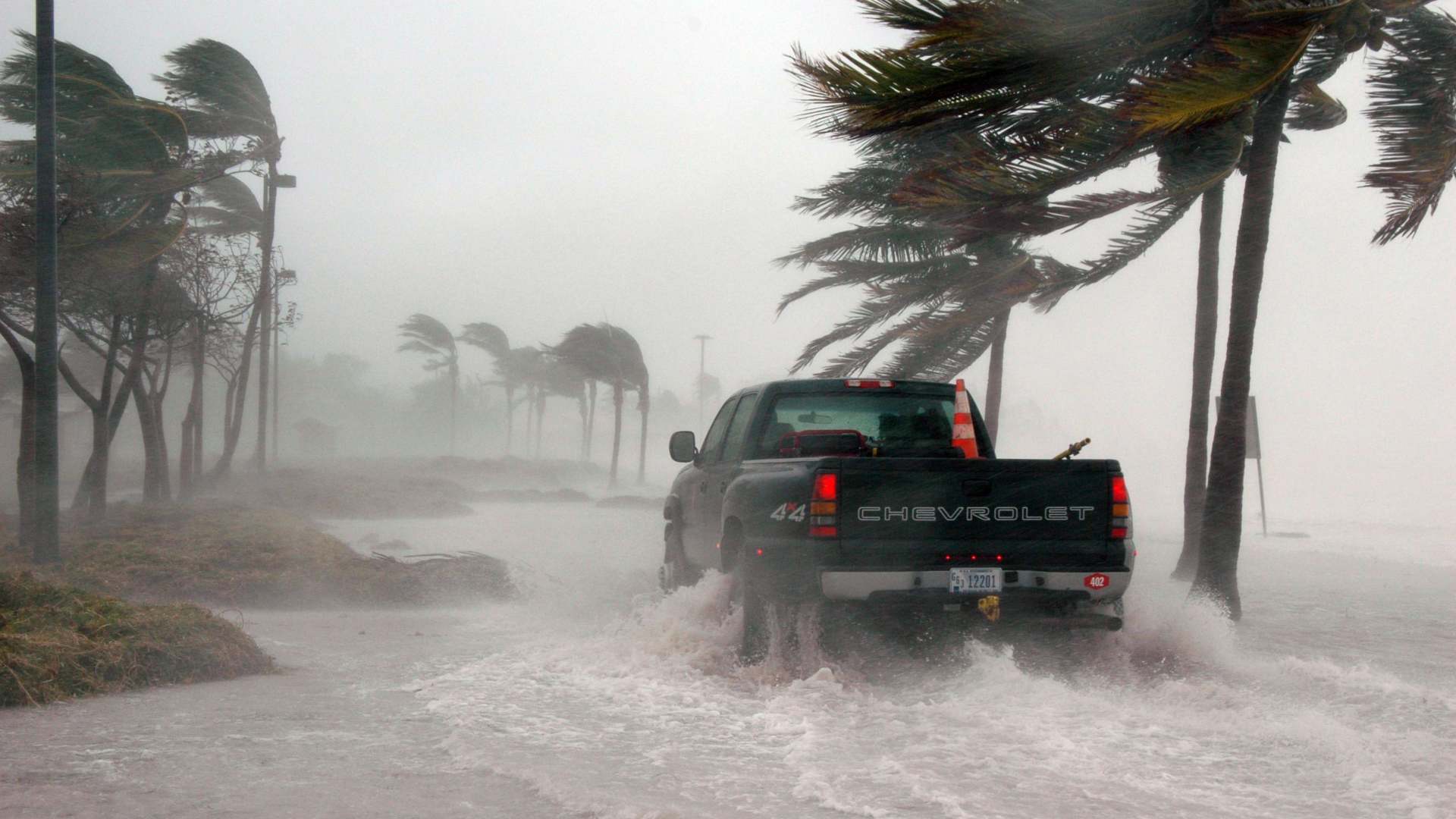
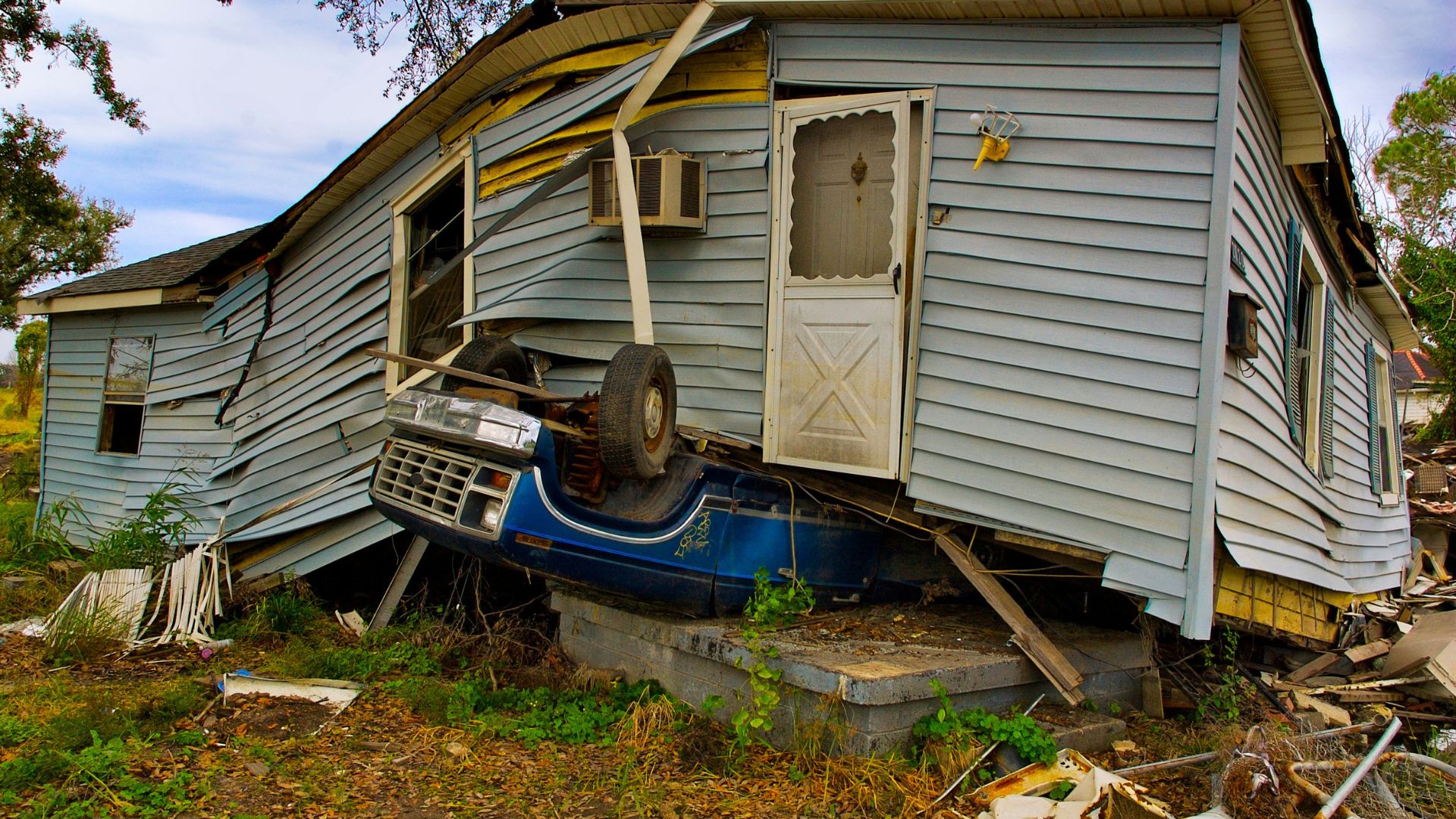
What Louisiana Can Expect
The center also noted that the storm “is expected to bring storm total rainfall of 4 to 8 inches, with local amounts to 12 inches across much of Louisiana and Mississippi through Friday morning.”

Source: Library of Congress/Unsplash
There is a large change of flash and urban flooding throughout the affected areas.
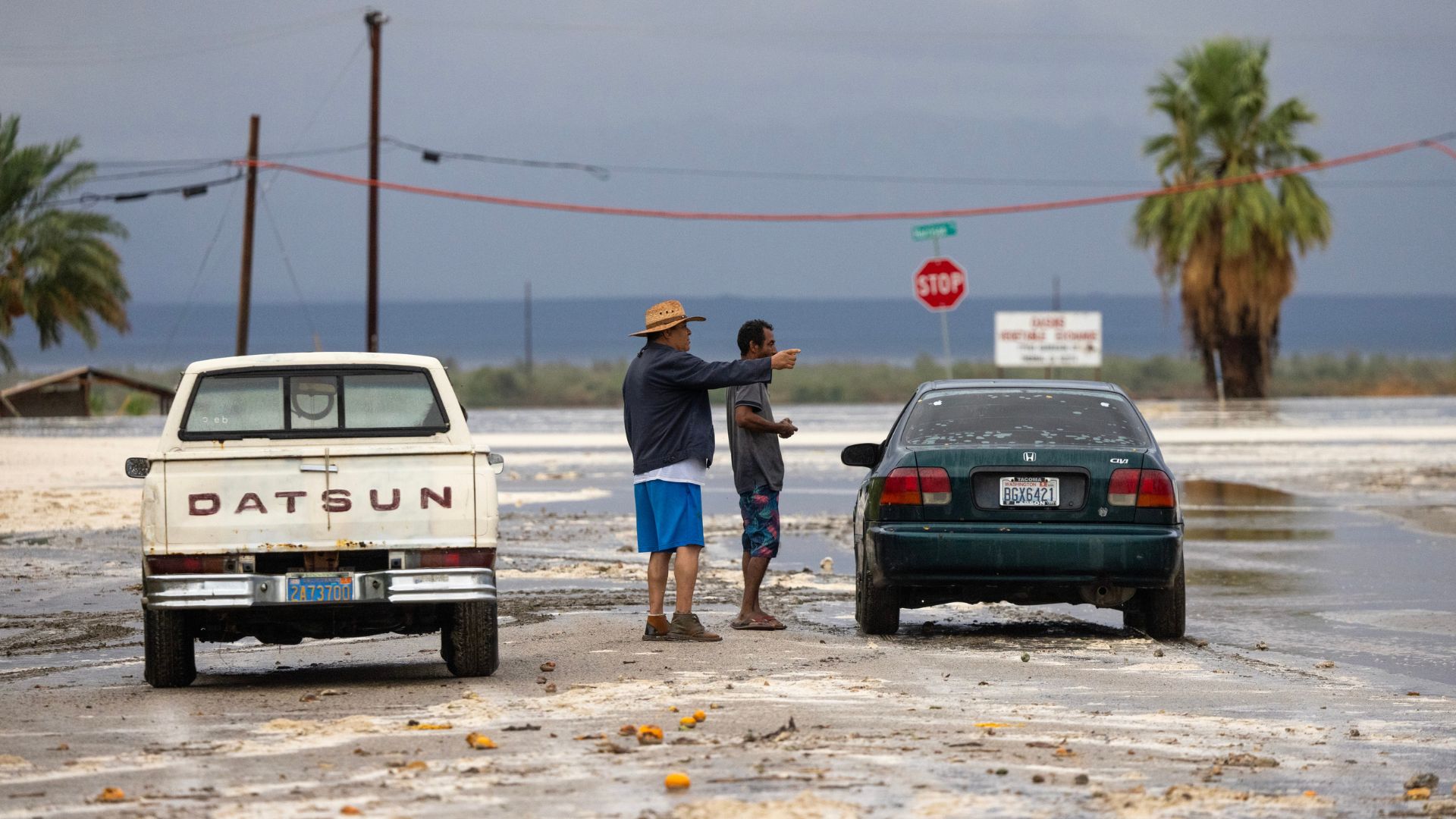
Where the Storm Currently Sits
As of Tuesday morning, around 8 a.m. EDT, Francine sat around 125 miles southeast of the mouth of the Rio Grande and roughly 395 miles south-southwest of Cameron, Louisiana.
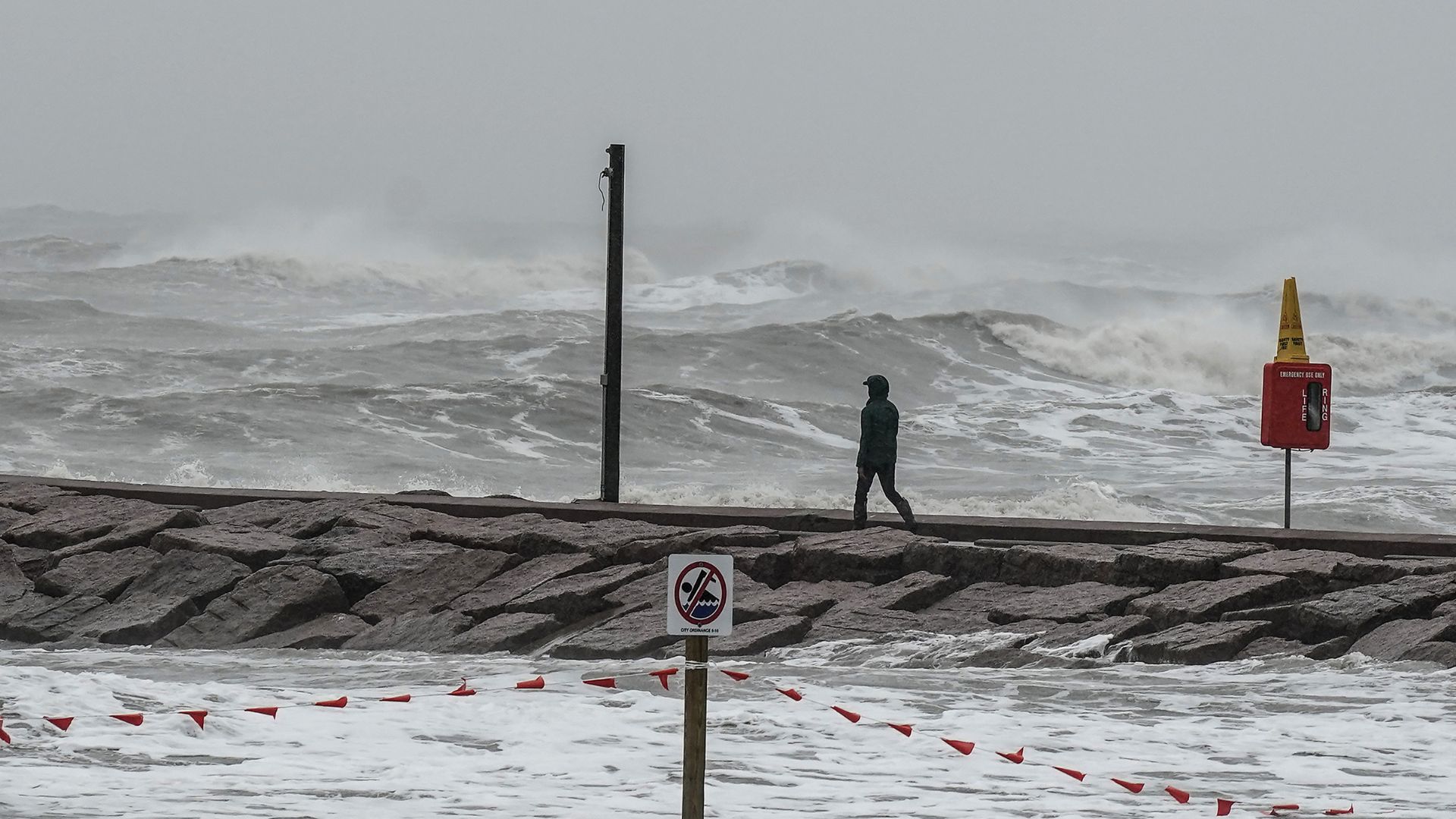
Source: J. Countess/Getty Images
The storm is currently moving north-northwest at 5 mph with the highest winds at 65 mph. Francine will officially become a hurricane once it hits 74 mph.
Louisiana Governor Steps In
The governor of Louisiana, Jeff Landry, declared a state of emergency late on Monday to prepare for Francine’s arrival.

Source: @LAGovJeffLandry/X
“This State of Emergency will allow parishes statewide to have the resources to help protect the life, safety, and welfare of the citizens of Louisiana,” Landry said on X. “Throughout this process, we will remain in constant contact with local officials and first responders and will assist them in every step of the way.”
Where the Hurricane Warning Is Extended To
The tropical storm warning was expanded on Tuesday morning for the Louisiana coast from Sabine Pass to Grande Isle, with a warning in place from the eastern mouth of the Pearl River, including New Orleans, Lake Pontchartrain, and Lake Maurepas.

Source: Justin Wilkins/Unsplash
Now, storm surge warnings are also in place for High Island, Texas, to the mouth of the Mississippi River and as far as the Mississippi-Alabama border.
What Is a Hurricane Warning?
The weather center says that a hurricane warning means that a tropical storm is expected somewhere within the warning area.
Source: Jim Brooks/Wikimedia
The warning is usually issued as early as possible so that residents have enough time to prepare for the storm.
What Is Hurricane Watch?
Another common alert issued is a hurricane watch, which is slightly different from a hurricane warning.
Source: Freepik
A hurricane watch means that the conditions are possible, but not certain, within a certain area. As well, a storm surge warning means that there is a danger of life-threatening conditions moving in within the next 36 hours.
The Storm Season So Far
Hurricane Francine has moved in after an unusually calm hurricane season in Louisiana and throughout the Gulf of Mexico.
Source: John Middelkoop/Unsplash
Francine is the Atlantic season’s sixth named storm.
Female Named Hurricanes Are Deadlier Than Male Names
On average, hurricanes with female names cause more death and destruction than similar-strength storms with male names.
Source: David McNew/Getty Images
The reason for the discrepancy is actually a social science factor. People take female-named storms less seriously than male-named storms and often do not take the same precautions or stay behind, which can cause more damage and death.
How To Prepare for a Hurricane
If you know that a hurricane is headed your way, you should take a few simple precautions to protect your home and family.

Source: Megan O'Hanlon/Unsplash
First, you should always have a weekly emergency kit with enough food, water, flashlights, blankets, toilet paper, and medical supplies. Then, you should secure your home by boarding down windows and securing any loose furniture outside. If necessary, evacuate the area and move to higher ground.