The storm season began early in the Gulf Coast this year. With one of the wettest years on record, the south will likely experience some of the most dangerous hurricanes seen in recent years
The threat of tropical storms has often plagued the southern states. However, this year, increased precipitation and rising water levels caused by global warming will only intensify the storms in the area.
Hurricane Forecast For the Year Released
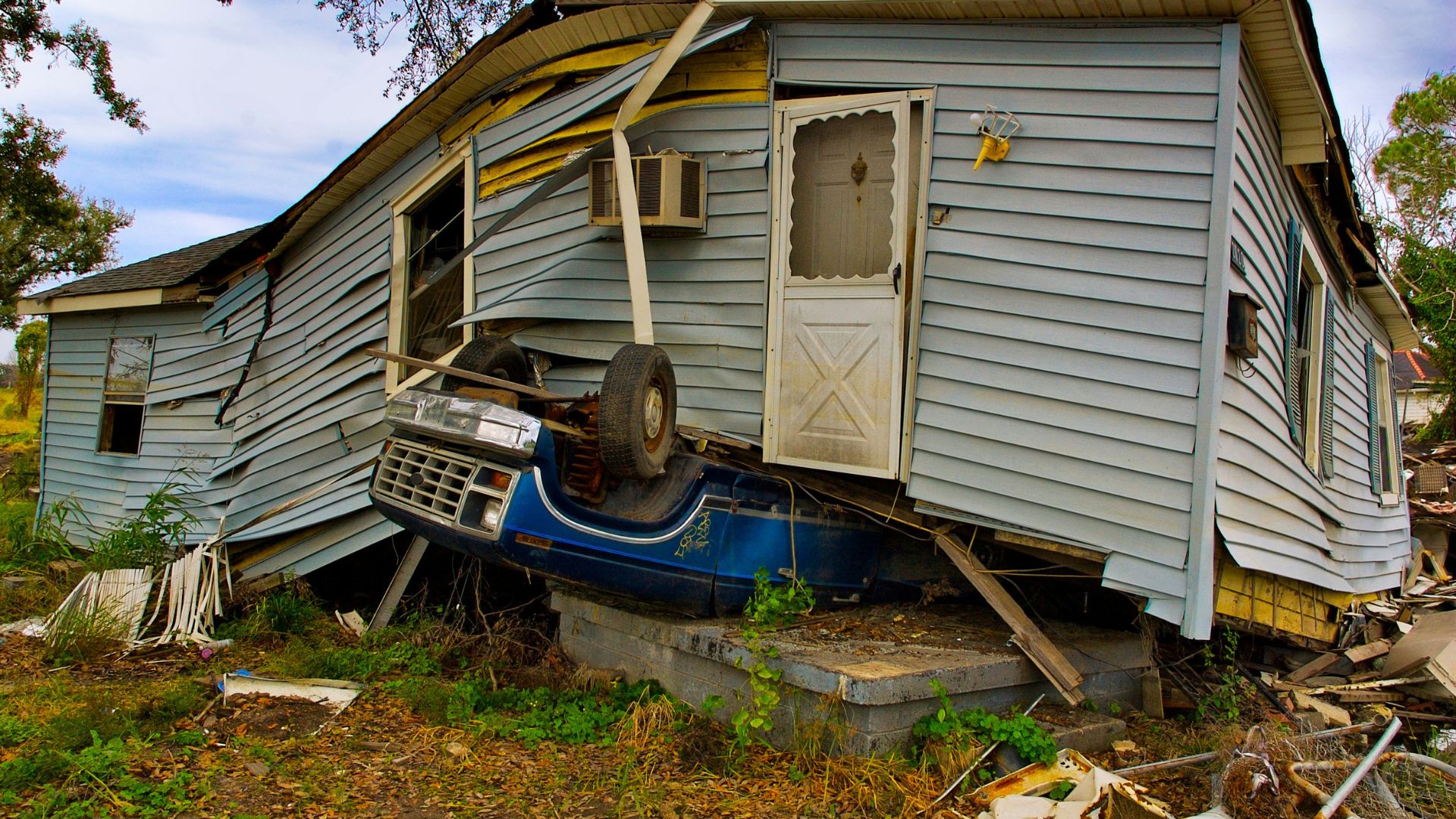
The NOAA’s National Hurricane Center released its official forecast on Thursday for the upcoming hurricane season.
Experts have been sounding the alarm that the season will experience a “hyperactive hurricane season” on top of the already wet and stormy weather seen in southern Louisiana and Texas.
Above Average Season Expected
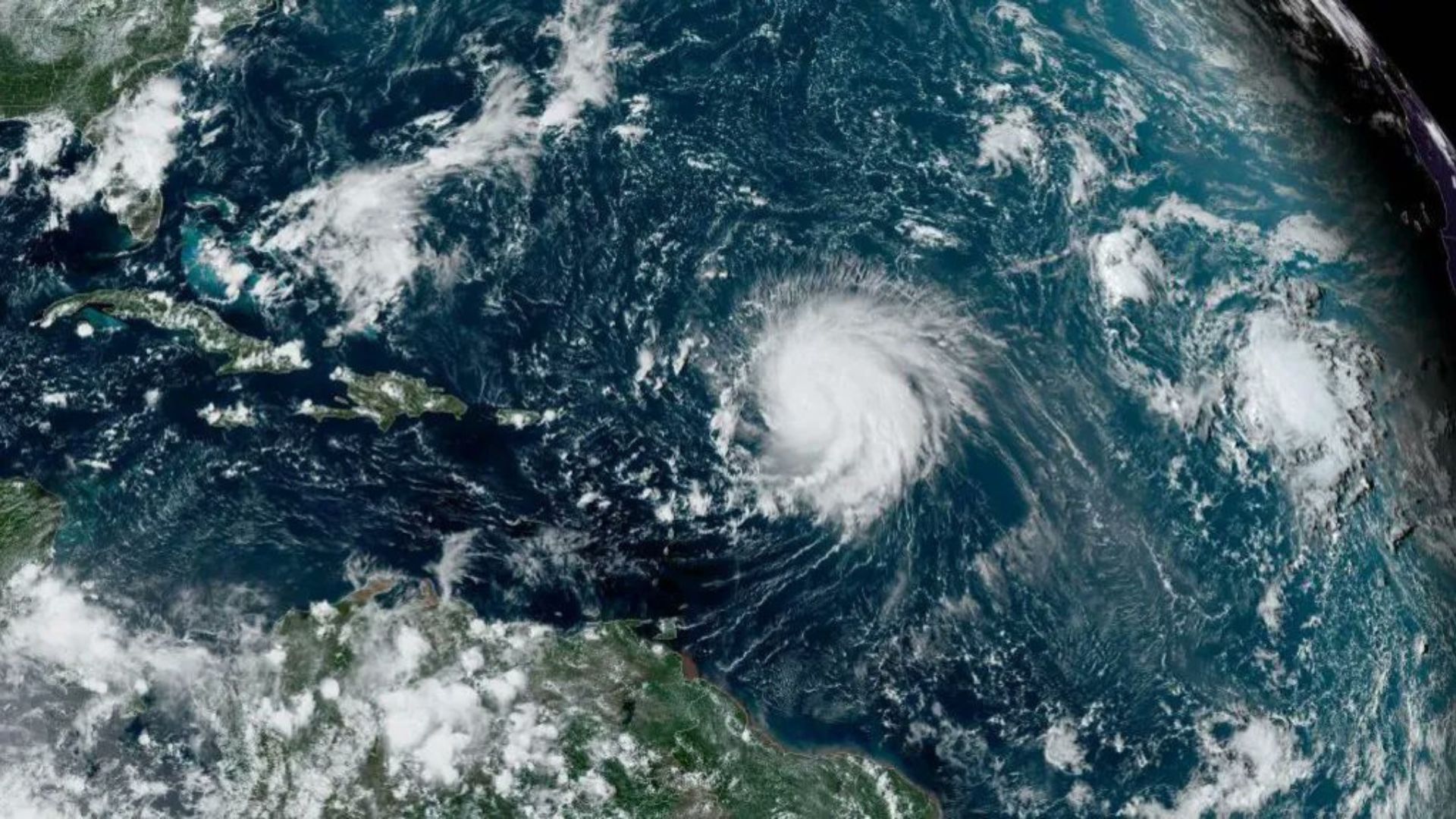
Currently, meteorologists and climatologists have noted between 17 and 25 major storms to be expected in the region throughout the summer. Of these, 8 to 13 could be hurricanes, and 4 to 7 could be Category 3 tropical storms or stronger.
This forecast is the most aggressive storm warning the NOAA has issued. At a news conference, NOAA Administrator Rick Spinrad said, “This season is looking to be an extraordinary one in a number of ways.”
South Already Hit With Unusual Amount of Precipitation
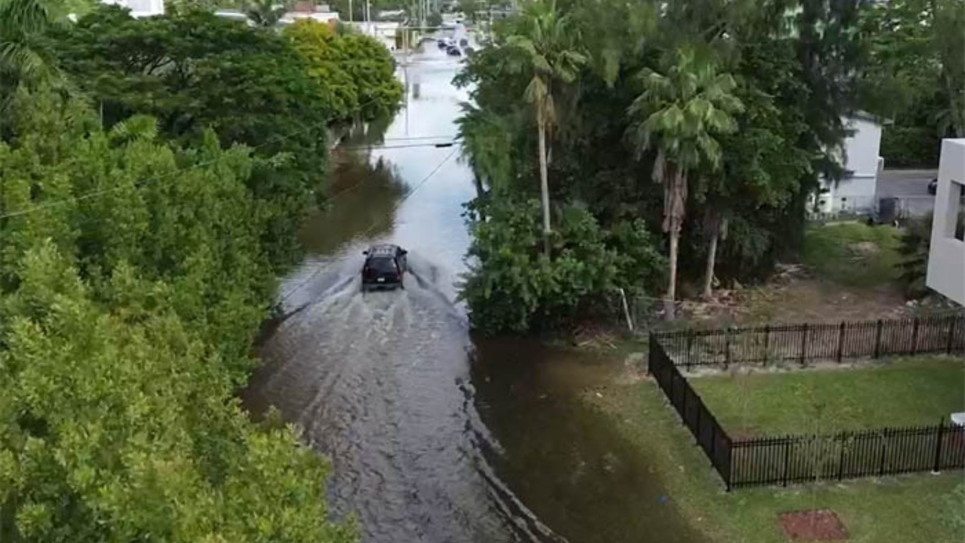
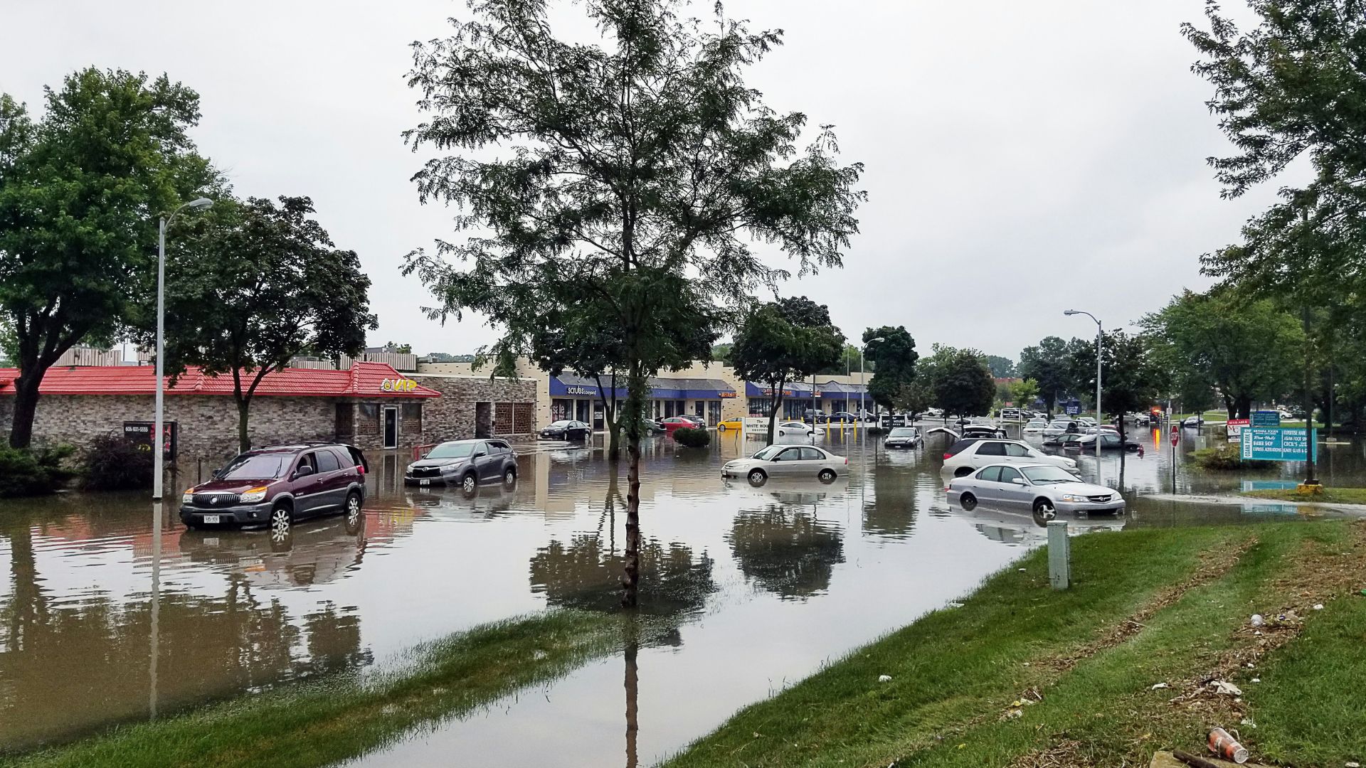
This year has already been one of the wettest on record for Texas, Florida, and Louisiana. Rain and strong winds have already ravaged East Texas. In just one week, a month’s worth of rain was seen in the area, flooding local lakes, closing roads, and causing widespread power outages.
On top of the added moisture, the Gulf Coast has been steadily rising due to polar ice caps melting attributed to global warming.
How Heavy Rains Affect Hurricane Season
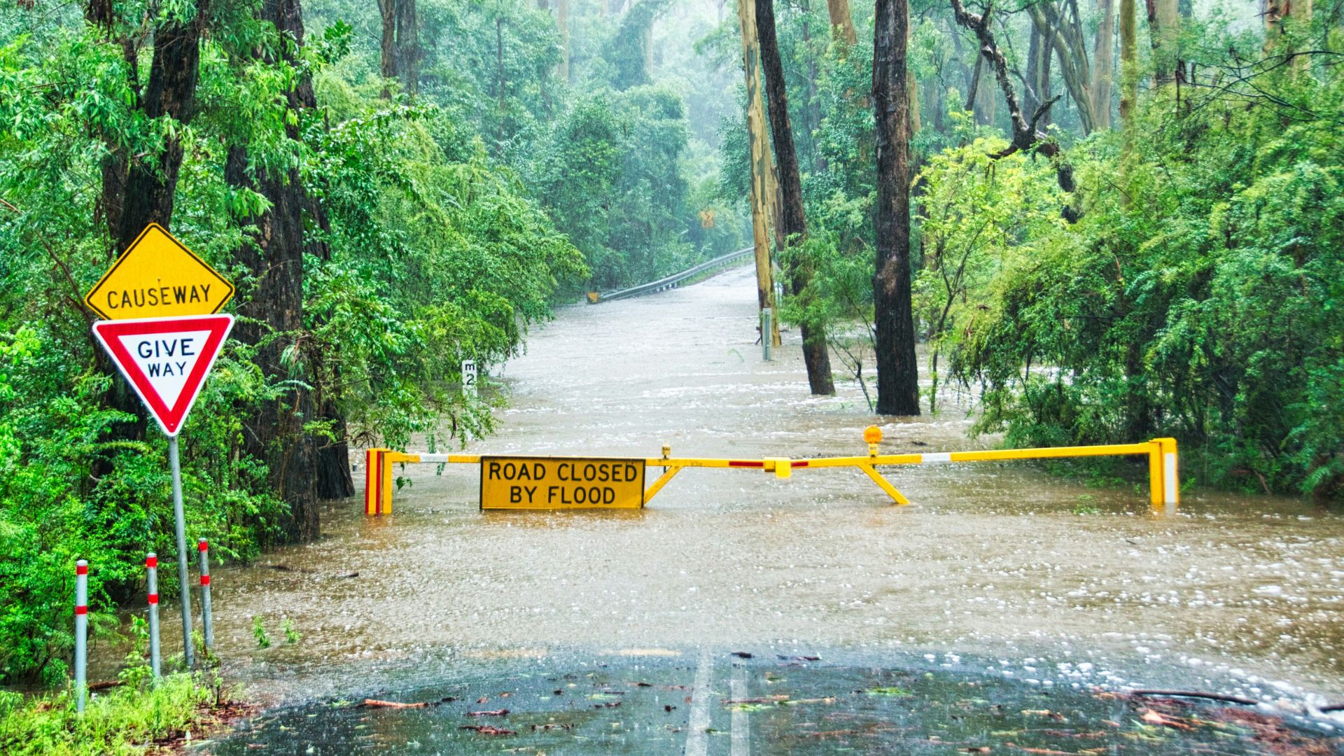
Since Texas, Louisiana, and Florida are usually dry places, the ground isn’t set up to absorb large amounts of moisture like in places that see rain regularly, like Washington or Oregon.
The dry ground rejects water, which usually increases the risk of flooding and landslides. The added moisture affects hurricane season because the ground has already absorbed all the water it can take. Added precipitation and flooding caused by hurricanes will overload infrastructure much worse than they usually do.
Climatologists Warn of Impending Disaster

Barry Keim, a climatologist with Louisiana State University, noted that the saturated soil will make it even more difficult for heavy tropical storms to pass through without massive damage to infrastructure or the environment.
The soil in the south can only absorb a few inches of rain each month. But with the added stress from sea level rise, many coastal regions have been overly diluted with water.
The Gulf Coast Is Expected To See Even More Rain This Summer
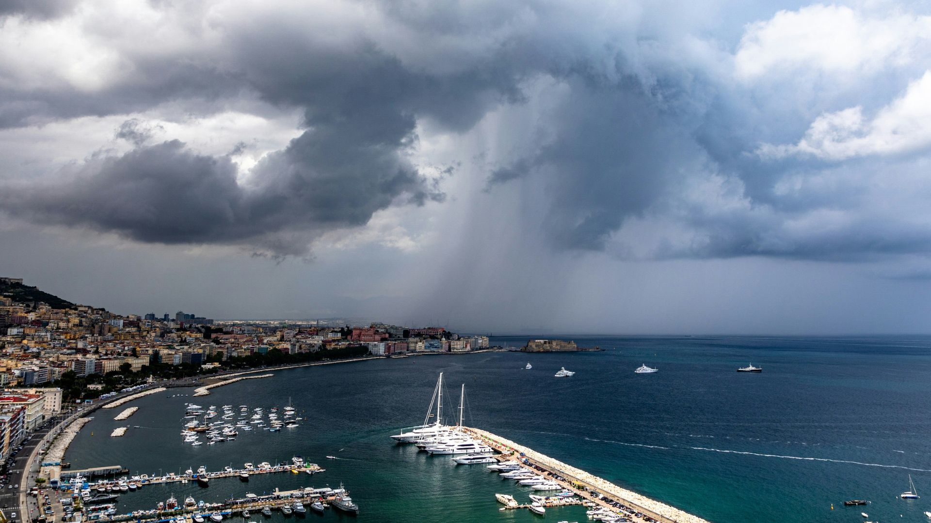
In the area surrounding the Gulf Coast of Mexico, tropical storms during the summer season cause as much as 25% of yearly rainfall. A study published in the Journal of Geophysical Research Letters notes that New Orleans usually receives 15 to 20 percent of its 63 inches of rainfall during the storm season.
However, a recent deluge of rain during the spring months has brought almost a year’s worth of precipitation.
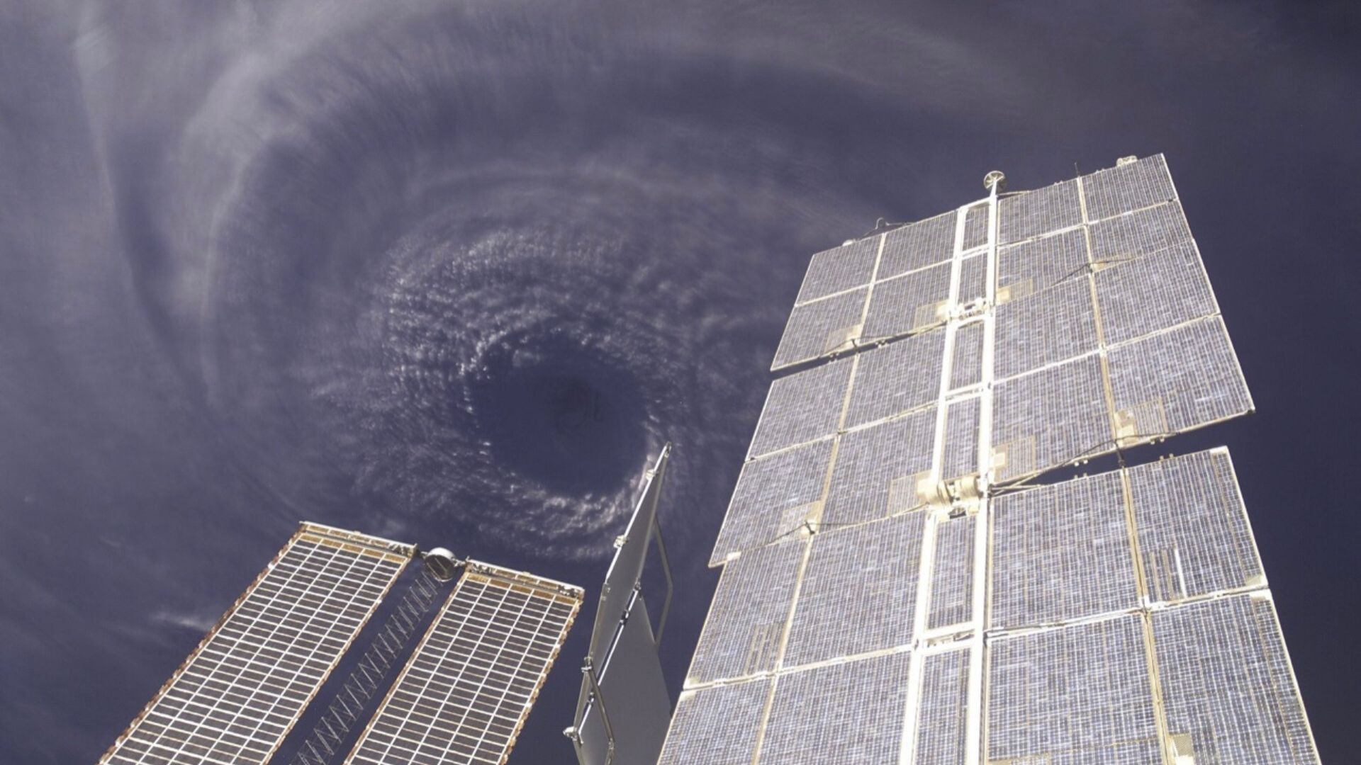
As global warming causes climate patterns to shift and intensify, the world will continue to experience hotter summers, colder winters, and more extreme storm patterns.
Now, the Gulf Coast is set to expect one of the most violent hurricane seasons on record. Climatologists note that the shifting climate tends to supercharge rainfall during these storms. Rising sea levels also increase the risk of massive floods, which will likely cause billions in infrastructural damage.
Storm Season Set To Begin June 1st
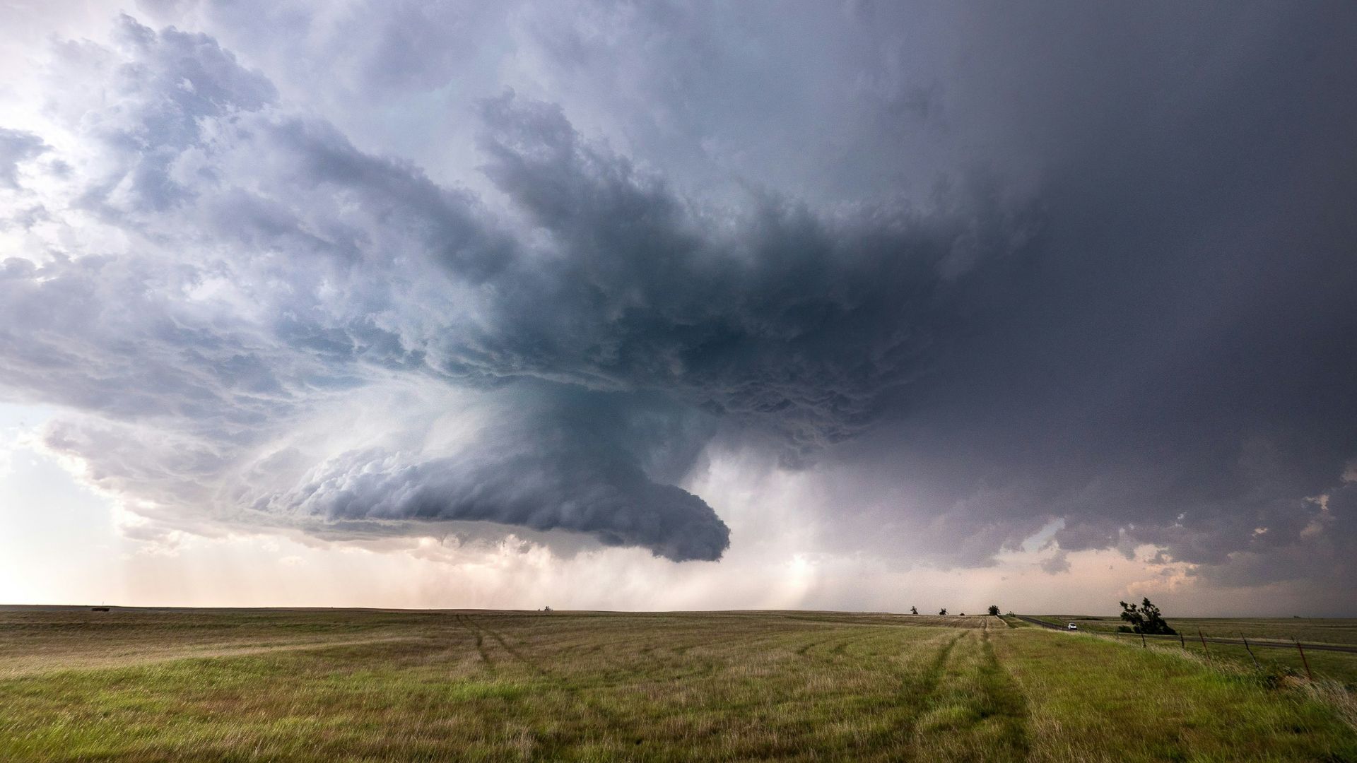
Experts remain concerned about a growing La Niña and extremely warm ocean waters. The National Hurricane Center and other forecasters have noted that this hurricane season is likely to be hyperactive and extremely violent when the season begins.
The coastal regions surrounding the Gulf should exhibit heavy tropical storms throughout the summer. Residents in the area have been told to plan ahead for emergencies and evacuations at a moment’s notice.
Most Damage Recorded Early in the Season
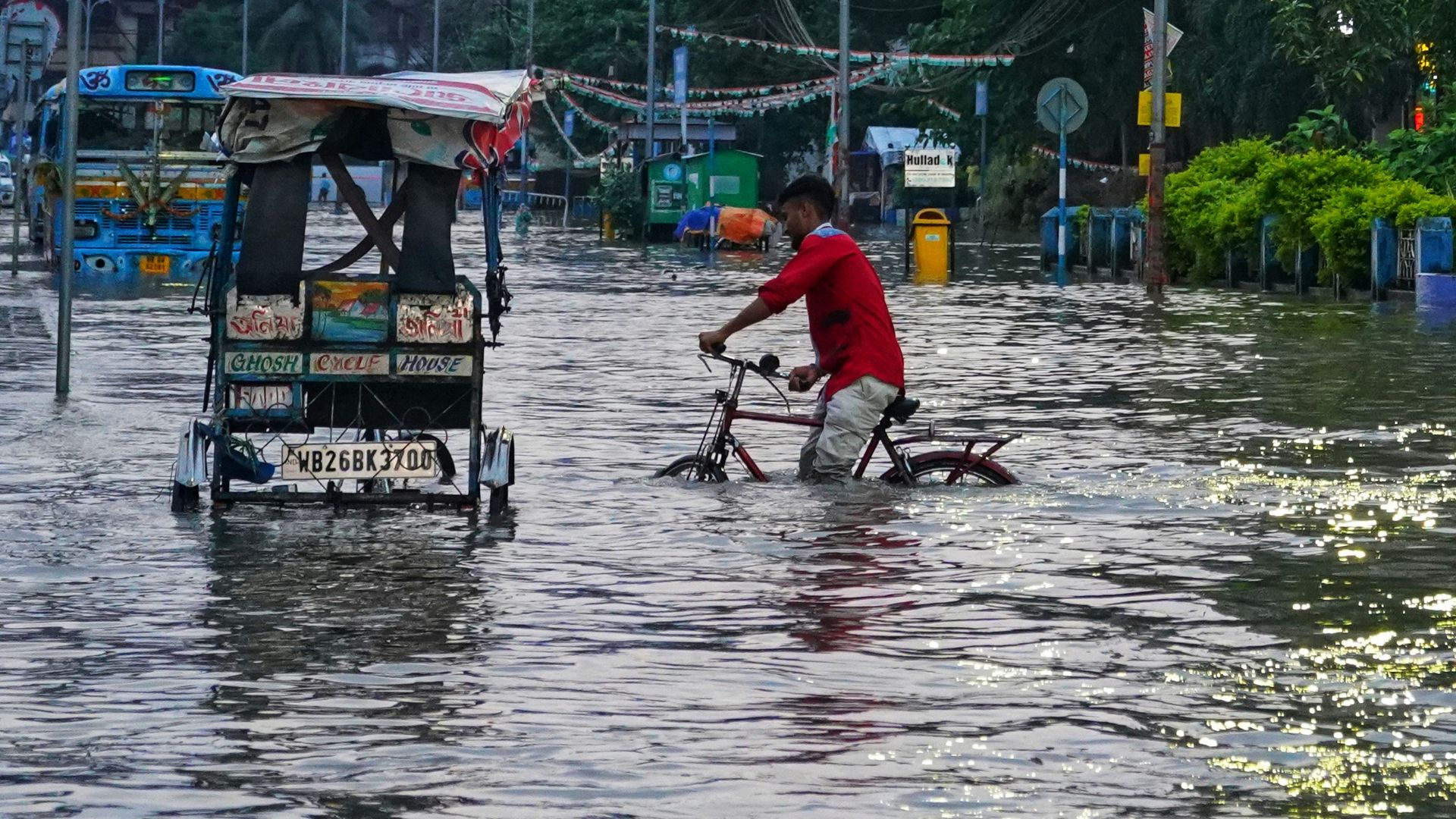
Forecasters are also concerned about the intensity early on in the hurricane season. Most of the damage is typically recorded in the first few weeks of summer.
Massive tropical storms are expected to dump an unprecedented amount of water in coastal regions, and flooding is expected to be seen further inland than ever before. Ironically, the flooding may not be as intense if an early summer heatwave bakes the Earth and evaporates any extra moisture.
Extreme Droughts Could Also Be Recorded This Year
While the eastern side of Texas has seen a massive deluge of rain, the western side has been experiencing a harsh drought, which has caused many of its lakes and reservoirs to dry up completely.
Like last year, the area could see unprecedented droughts after the onslaught of a heat dome. Tropical storms typically become more violent with warmer weather. So, the damage from a hurricane in warmer weather might be associated with high winds instead of widespread flooding.
Latest Hurricane Outlook
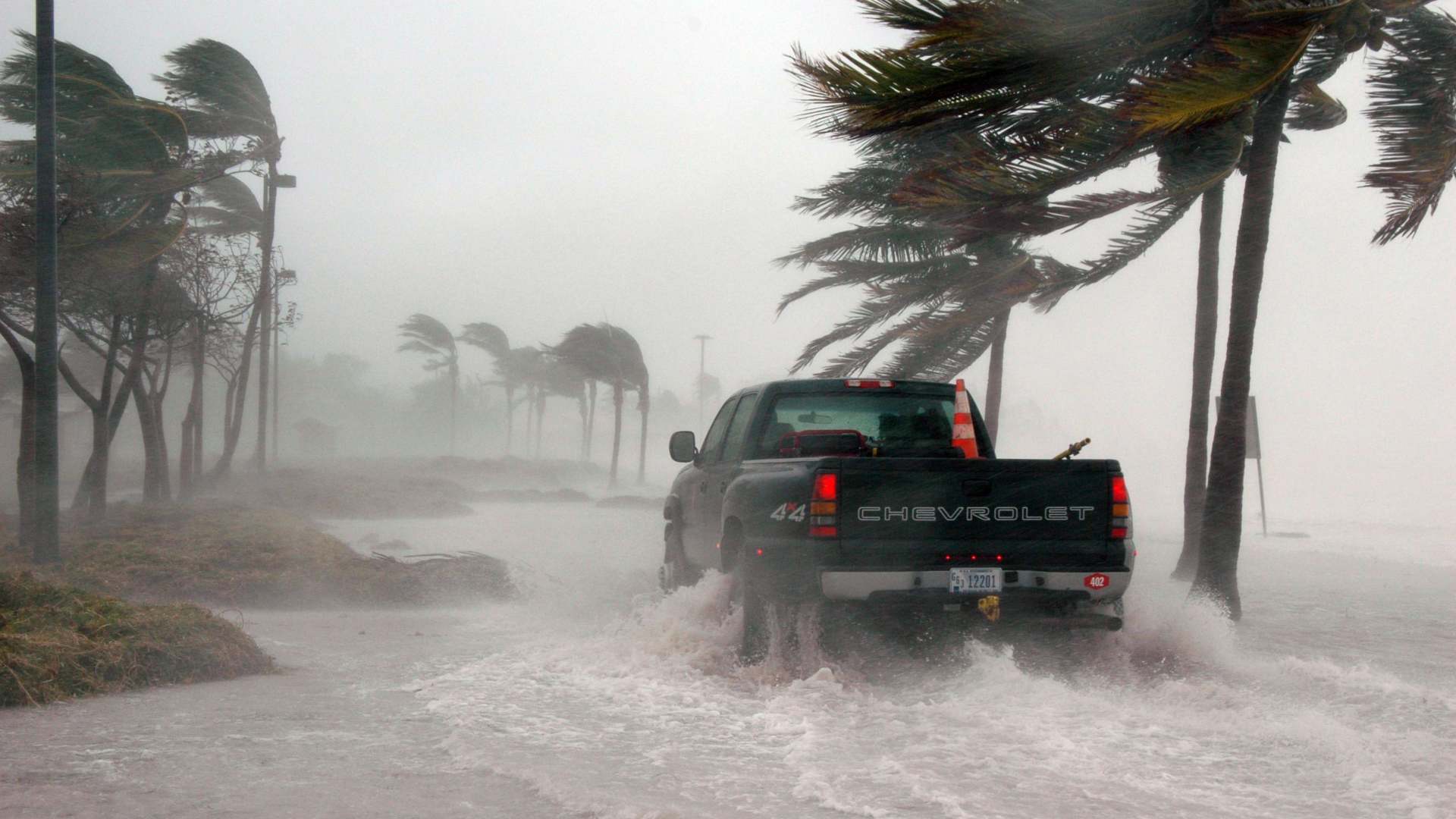
Forecasters have recorded an 85% chance that this season will be above average for the number and intensity of hurricanes.
Warm ocean water will act like kindling to a fire. Warm water only intensifies storm systems and helps them form, strengthen, and survive much longer than if the water was cooler. Off the charts, ocean heat in the Atlantic is already worrying experts who fear more storms and flooding will occur as global warming becomes worse.


